Out of Stock. Replacement upgraded product is being developed soon.
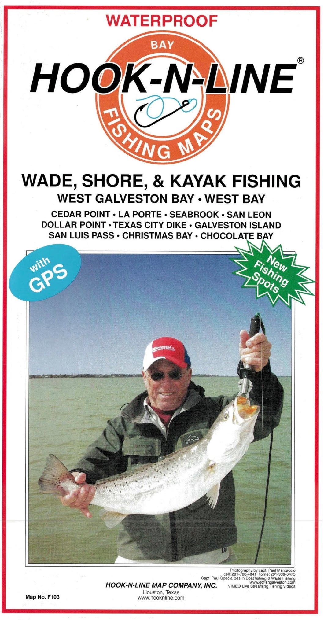
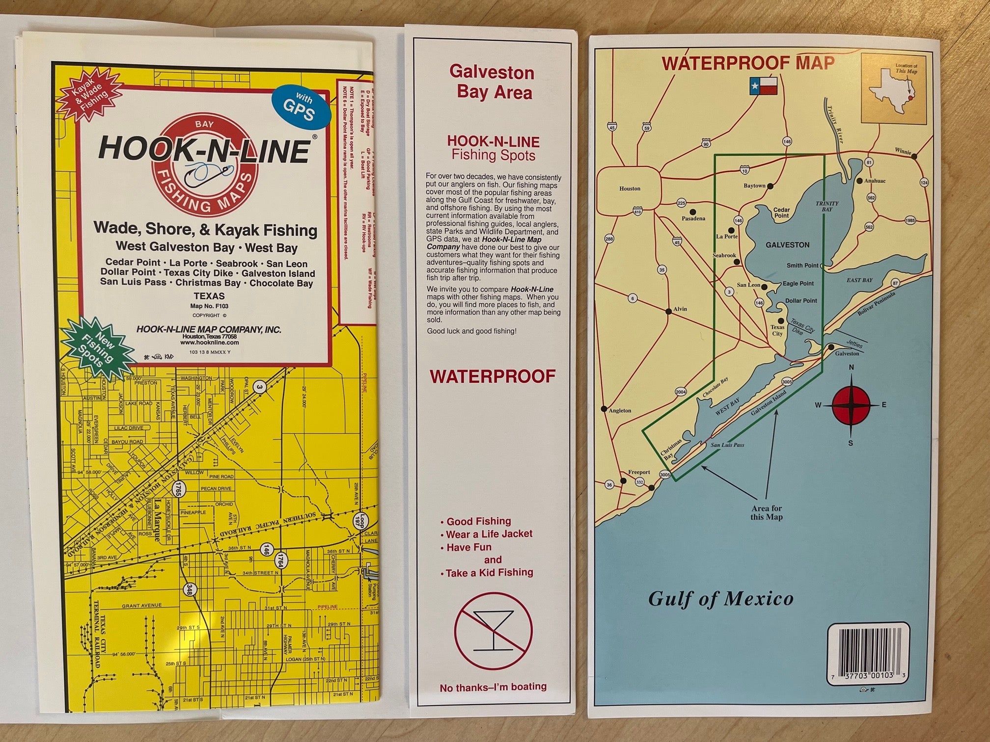
West Galveston area fishing map
A waterproof inshore saltwater two-sided fishing map of the West Galveston Bay area. This map is a very detailed, two-sided fishing map of Cedar Point, La Porte, Seabrook, San Leon, Dollar Point, Texas City Dike, Galveston island, San Luis Pass, Christmas Bay, Chocolate Bay. The map has GPS locations for fishing spots, oyster reefs, waypoints, marinas, boat ramps and other points of interest.