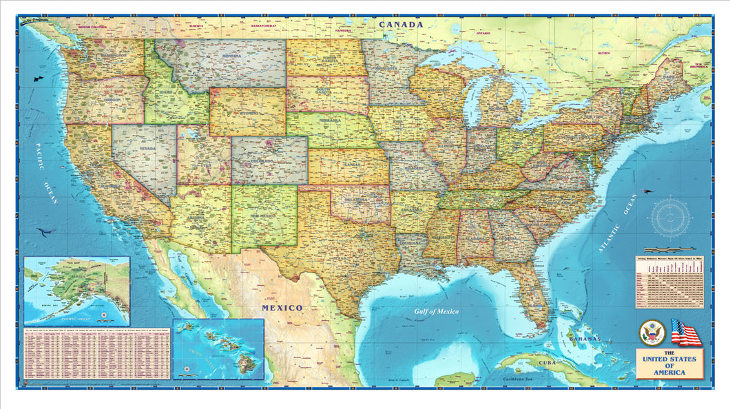
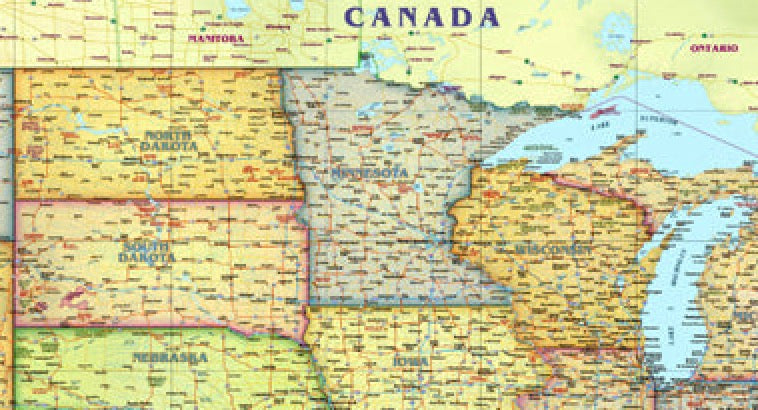
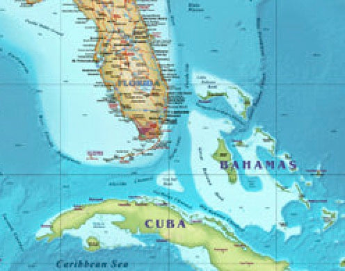
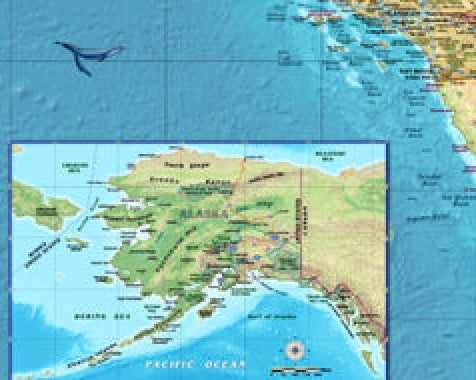
USA Political Wall Map
by Compart Maps
Introducing Compart Maps USA Political Wall Map/Mural. Beautifully illustrated with subtle earth tone hues, the detail is highly legible with state borders clearly color defined. In classic Atlas style, this map can be used for general reference, to track current events, or as a piece of art. Decorators will find the color scheme works beautifully with dark wood furniture and trim. With flexible sizes this mural is a designer's delight.
30" x 60", Laminated & tube shipped
This USA Political Wall Map features:
- Cities
- Highways
- Physical/Terrain
- Points of interest
- Highways
- International Borders
- Physical Terrain names
- Colored State Borders
- Latitude/Longitude Lines
- Points of Interest
- Ocean Relief
- National Parks